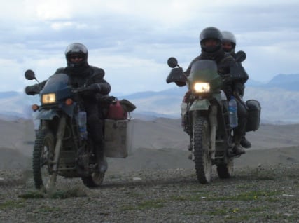
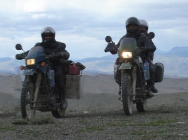
It's better to travel one mile than to read a thousand books
GREG DZIEWIERZ
-YyvL5nkbNDS7p8b2.jpg)
-YyvL5nkbNDS7p8b2.jpg)
My passion is music and traveling. Me and Natasha made a lot of adventures to keep as a memory.
JACEK DUBIEL

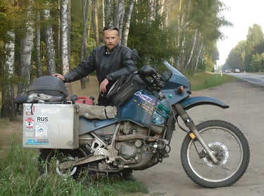
Music teacher. Lived in Poland, Canada, Peru, and currently in Singapore. Interests: music, motorcycles, travel, scuba diving.